Posted on 28 January 2016 by Kai Pastor
We are adding GDAL, the Geospatial Data Abstraction Library, to the components of OpenOrienteering Mapper. GDAL is an open source translator library for raster and vector geospatial data formats. We identified a number of feature and change requests which will benefit from using GDAL.
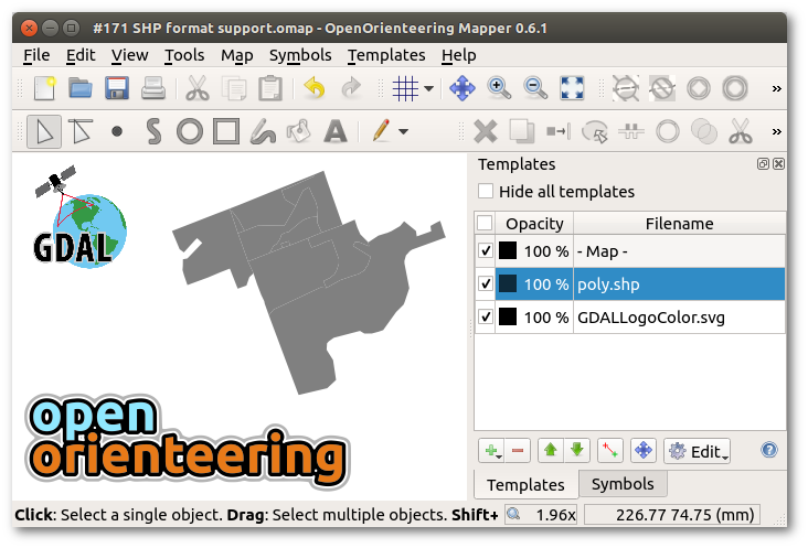
It will take a while to materialize, but the implementation of a template class which loads geospatial vector data through GDAL/OGR is already working very well. The supported formats include DXF, Shapefiles, and many more. In contrast to existing implementation, the new template class can preserve style information e.g. in DXF files.
The current unstable snapshot comes with GDAL 2.0.1 for Windows, and it uses the distributions’ packages on Linux. (There is no GDAL support for openSUSE 13.2).